
EasyTerritory Announces October 2017 Release
The October 2017 release of EasyTerritory (v2.88.0) is available now. There are a lot of new features and improvements in this release:
- New create marketing list in Dynamics 365 support
- Improved upload/download menus with helpful links to get you started
- New data-change history tracking for real-time service layers
- New POI (points of interest) support
- Improved territory stitching in territory builder to ensure clean edges between territories
- New partitioning mode to partition nearest-neighbors
- New support for anonymous mobile views
- Improved join-feature to better analyze joined data and automatically set up the new layer
- Improved Dynamics 365 support for international realms
- Support for ‘unclassified’ classification
- Added a new markup workflow task to rebuild all territories to the latest dataset.
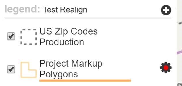
- New Project Polygon Markup Plugin
- New admin setting allows disabling CSV download of protected data
- Numerous tweaks and performance improvements
Dynamics 365 Marketing Lists
If you open a Dynamics fetchXml project and the entity is: contact, account or lead, then there is a new download option available if you have queried that entity with results in your data-grid. The new download option will be available under the “export results-grid” group and reads: “export data-grid results to a Dynamics 365 marketing list.” Selecting this option will create a marketing list immediately in Dynamics 365 and return its name: (e.g. “EasyTerritory######” where ##### is a timestamp number.) You can then go into Dynamics 365 and rename it from there.
Data-change History Tracking
For cached-local layers (catalog data layers with {cache-local} set to true) if the underlying data changes, then not only does the data automatically update in open clients using those layers, but now an alert is presented to the user with a means to view the changes. This is helpful in service scenarios where data is changing in real-time and clients need to know when they occur and what changed. An example might be your company’s service-request CRM receives new work orders and the service locations point layer in EasyTerritory changes. All clients viewing this layer would want to know when and where all changes take place.
Here are the scenarios where an out-of-band data change might occur:
- The EasyTerritory Ingestion Service imports your ERP/CRM data into a SQL server layer that is used in client projects.
- A Shapes2SqlAndCrm project is saved by a planner updating a SQL layer used in client projects
- A SaveProjectMarkup project is saved updating the centralized ProjectMarkupPolygons layer used in client projects
 When these out-of-band data changes occur, the “LayerDataChange” notification service is called on the server and any client using the affected layer in their map is automatically updated (within the polling interval in settings.) When the data-change occurs, users will see their map refreshed with an alert for the layer in the setting icon. When the user opens the settings panel there will be an alerts link at the bottom. Clicking this will open a dialog showing all of the data changes, when they occurred and how many records were affected. Clicking the {show} link will push the changed rows into the results-grid for further analysis.
Points of Interest Support
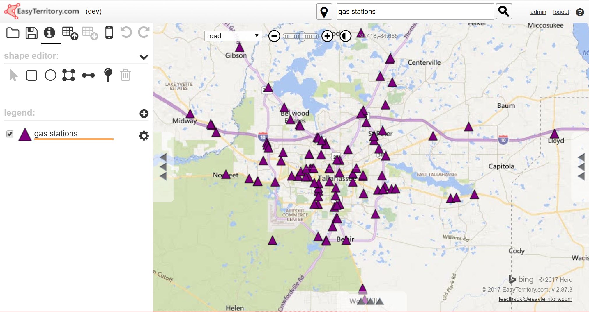 If you are in address-search mode you can type in an address and a marker will be placed at the corresponding location. In the latest version of EasyTerritory, you can also type in points of interest such as restaurants, gas stations or banks. This feature is available for the US and Europe. Doing so will create a new map layer with the corresponding points of interest in your area populated. You can add as many POI layers as you like to your map and over 50 different types are supported:
For more information on the supported POI types, please visit Microsoft’s website:
https://msdn.microsoft.com/en-us/library/hh478191.aspx
Improved Territory Stitching
In previous versions of EasyTerritory, you had to select a slice (ctrl-click two nodes while in digitizing mode) in order for stitching to work. You can now stitch to all neighbors without having to select a slice. The stitching performance and quality have been greatly improved. Stitching no longer moves nodes outside of a given search range so that if you do stitch an entire polygon, regions not near any neighbors are left intact. We also added an auto-stitching step to the markup builder. This will create topologically sounds territories even at coarse resolutions that used to result in gaps and overlaps.
Nearest Neighbor Partitioning
This is a new partitioning mode that will create separate 2-point partitions between a set of features from one layer to the nearest neighbors in another layer. Perhaps you want to group a set of customers by their nearest outlet so that you can create a set of routes to visit them. You would use this new mode to accomplish this.
Anonymous Mobile Views
Some of our customers have asked for this feature and we have delivered in our October Release. Normally, in order to access a mobile view, an EasyTerritory account is needed for logging in. This secures data in the field so that only authenticated EasyTerritory users may access. However, in some scenarios, you might want third-party users who do not have an EasyTerritory account to access a dataset on their mobile device. Setting the allow anonymous access on a mobile view to true enables users to open the view without having an EasyTerritory account.
Rebuild all Territories to Latest Dataset
Many of our customers build their territories from postal code data. EasyTerritory is constantly updating the US postal dataset as it changes at the USPS. This may result in new polygon shapes that make up your territories. There is a new markup workflow that allows a one-click operation to update all of your territories to the latest version of their underlying component geometries (e.g. postal code polygons.)
